A few weeks ago, we talked about how GIS could be used to speed up your spring hydrant maintenance. In a similar vein, today we're going to discuss using GIS Trimble's Unity high-quality tools to map your assets and get the job done more quickly. Here's a quick overview of Unity's highlights to help get you started!

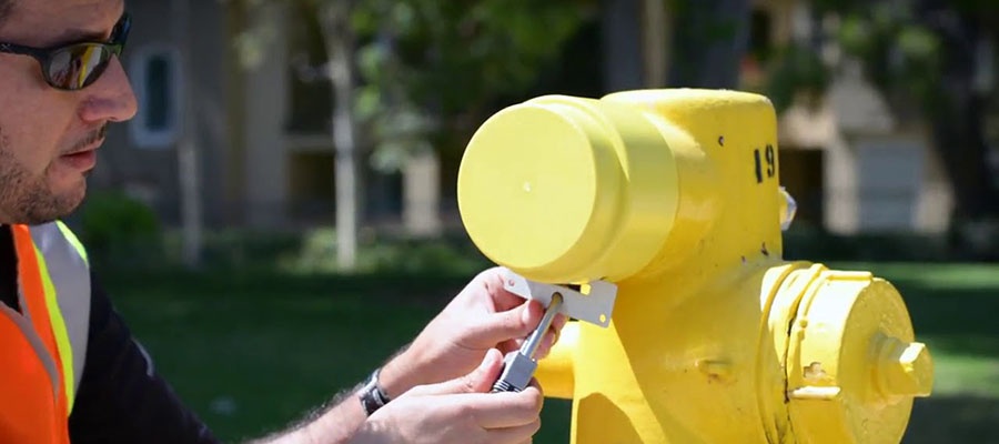
Spring system maintenance. It's one of those tasks that people in the water utility industry both love and hate. Lovely spring days and outdoor weather are awesome to work in after winter's cold months, but knocking out long task lists and making out your crew's to do list means long hours and a lot of questions or potential for errors in your logs in the end. Even worse is finding the hydrants, valves and other fixtures that you need to test. Fortunately, there's an easier way to get it done by adding Trimble GIS software to your toolkit.

As digitization marches forward, one way to modernize your water utility is by adding Trimble systems to your available tools. More than simple location services, Trimble Unity can help save your water utility's wasted time in the field and money in the budget. Here's a quick look at how their system helps you make this happen.
Imagine your crew is looking for a break in a water line or a water meter in a busy downtown area. They could spend significant amounts of time trying to locate these locations, trying to figure out where those areas should be. But what if your crew could simply look up the exact location, go directly to it and get to work immediately? That's the convenience and productivity that Trimble GIS options can bring to your water utility. Here are some more details to help get you started.

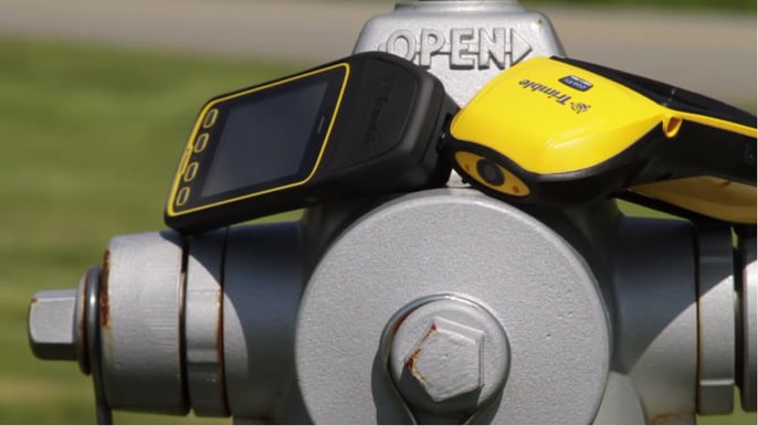
GPS, GNSS, GIS: there are a whole range of acronyms used today to summarize satellite-based positioning systems. However, these systems are only as good as their accuracy and ease of use. Fortunately, as this technology has been developing over the past few decades, it's become more accurate and less expensive than in the past. But how important is accuracy? Should you invest in new equipment or stay with what you have? Here's a quick overview of how these systems work and why it's a great time to explore new aspects of this technology.
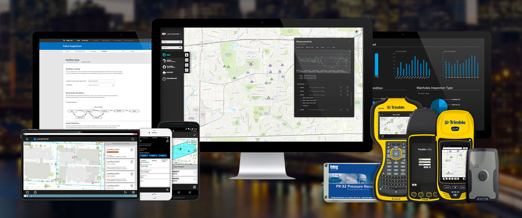
With the prevalence of smart meters, Internet of Things sensors and the advent of the digital workflow, there's no doubt that technology in waterworks is here to stay. But how do you coordinate all the separate pieces to work together effectively? Many businesses, organizations and waterworks departments have begun to implement the Trimble Unity platform to improve their connectivity and efficiency, but still have questions about which apps should be used with the software to make it even more effective. Towards that end, we've written a review on AFC Mapper, which helps bridge construction, mapping and maintenance workflows to improve your crew's efficiency in the field.
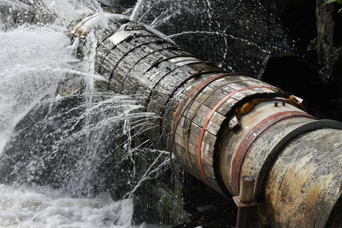
When you have a water distribution system, leaks can seem inevitable. The average system loses about 10 gallons of water per person per day, which can mean thousands to millions of gallons of water lost in a very short period of time. Though you may have an idea of where a really colossal leak could be because of flooding or serious soil displacement, how do you catch those leaks before they become an emergency? Through intelligent leak detection technology.


You may look at fire hydrants and think that not much has changed in terms of technology over the past few decades—or even centuries. However, like everything else, hydrants are getting smarter. Alternatively, at least the act of tracking and maintaining them is becoming smarter. This is mainly because of advances by Trimble Unity and American Flow Control. The two companies have worked together to create a unique coding system that makes it easier for any town to track what is happening with maintenance at any given time. Discover what a big difference that working together has made.

Team E.J. Prescott is proud to announce that we have become an exclusive distributor for Trimble Connect. Trimble Connect/AFC Mapper offers a wide range of cloud based server and software solutions which help water utilities bridge the gap between construction, mapping, asset management, and work order management in the field.
American Flow Control and ESRI systems help in the automation of mapping and asset management. With the AFC Mapper options you will be able to use bar code readers to input all relative information from an AFC Valve or Hydrant after it has been installed in the ground. You will also be able to identify its geographical location on maps of the area where these assets are installed.