GPS, GNSS, GIS: there are a whole range of acronyms used today to summarize satellite-based positioning systems. However, these systems are only as good as their accuracy and ease of use. Fortunately, as this technology has been developing over the past few decades, it's become more accurate and less expensive than in the past. But how important is accuracy? Should you invest in new equipment or stay with what you have? Here's a quick overview of how these systems work and why it's a great time to explore new aspects of this technology.
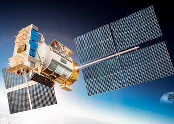
GIS systems include the software and hardware needed to establish and document a location on the Earth using satellite signals. The US GPS system is part of the larger worldwide Global Navigation Satellite System (GNSS) and was developed originally for use by the US military. Since that development, however, the technology has grown significantly into civilian life in personal, business and government use. Most smartphones today have at least some level of GPS technology, putting access to this positioning system into the back pocket or purse of the vast majority of the American public.
As technology has advanced, it has also become more complex while also decreasing in price, making it a better option for government and utility use. The level of accuracy depends partially on the satellite signals, which is believed to be accurate in general to within a range of 16-25 feet. The device you use will also impact the accuracy of the location reading. This is important when you have work crews out because trying to find a single point within a circle 25 feet in diameter may still leave you with a lot of ground to cover. Though new options are being explored to greatly reduce this distance, it may be a few years before that technology is released and having highly accurate results can make a big difference in how much time your crew spends finding an exact location of a meter, water line, break or similar aspect of your overall system.
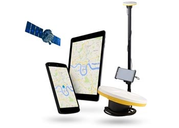
But what if you don't want to have to purchase an entire new system in a few years' time to improve accuracy? One option to consider is mobile-based technology. Mobile devices are being used today to monitor radio traffic, scan emergency response frequencies, act as walkie-talkies and any number of other communication options through software-defined receiving capabilities. By simply adding a specialized antenna, such as that offered by Trimble in their Catalyst system, you can improve your mobile device's accuracy significantly, reducing your overall intial expense and improving your mobile device's capabilities. This allows you to simply upgrade the antenna or app down the road while still having access to other systems in your same mobile device.
By understanding why GIS accuracy and tied-in mobile options are so important, you can gain a much better grasp on how these systems work and what their prospective future applications may be. At Team EJP, we're dedicated to helping your water utility get the best possible productivity out of your work crews and tools. That's why we've formed a strategic partnership with companies such as Trimble to ensure you have cost-effective access to the best GIS tools available. Please feel free to contact us today for more information on how GIS systems can improve your water utility's bottom line.